

October 18, 2017
Hema - Sundown National Park
63.6 kmHEMA 4WD + CAMPING ESCAPES SE QLD - TRACK #19
This weekend escape from Brisbane requires low range and high clearance to take on, with steep and rocky terrain making for some challenging 4WD tracks.
Sundown National Park has a remote character to it that makes it a fantastic getaway destination, adding to the tough nature of the tracks within the park.
This is Track #19 in Hema's 4WD + Camping Escapes - South East Queensland atlas & guide, which features the Top 20 4WD Trips and 300 best camping areas near Brisbane.
Buy your copy of the book online here: http://bit.ly/seqld4wd
April 14, 2017
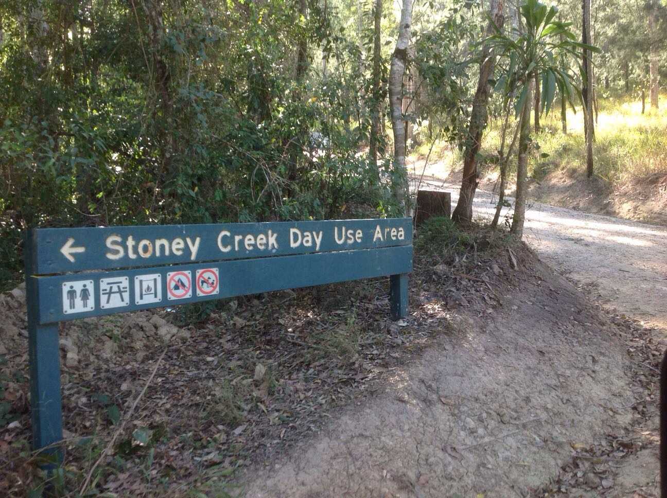
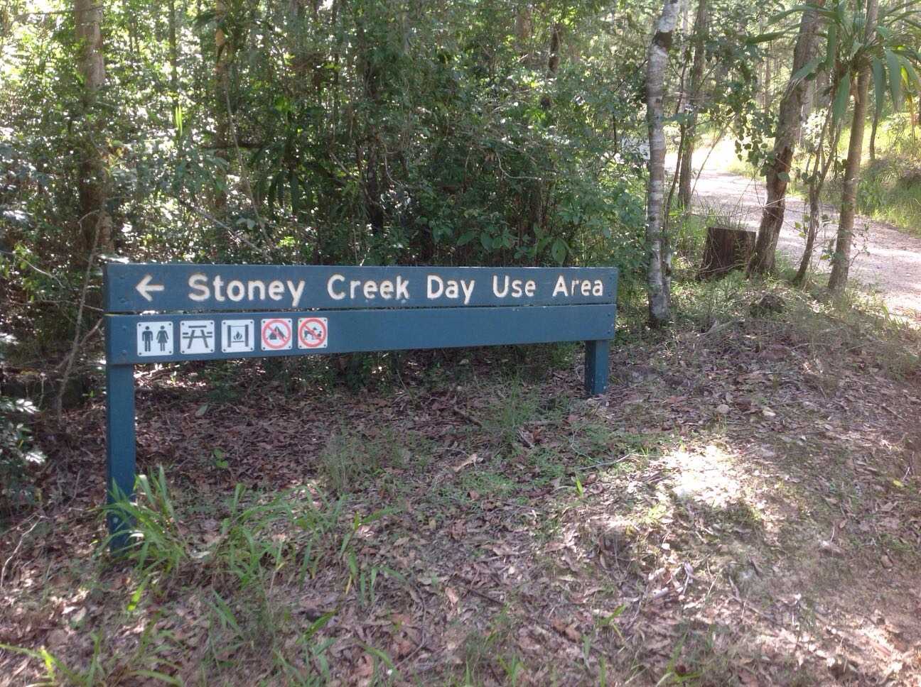
Belthorpe & Conondale NP Track (15/4/17, 9:29:27am)
60.6 kmDriven with Pat & Melissa.
Overall trip level medium.
Started at Woodford.
Followed Dirty Weekends trip initially (easy), however detoured to Stony Creek day use area and then followed along Branch Creek Road (marked as "4WD Dry weather road" on Belthorpe National Park map from QPWS). This section easy/medium with some steep sections. Very scenic, plenty of rainforest. A small section towards the end of the trip on Grigors Rd was heavily rutted (medium).
Dirty weekends sections mostly easy.
Finished about 15 minutes south of Kenilworth.
My Photo - 15/4/17, 10:14:20am
April 14, 2017
Conondales Track (9/06/2015 12:53:57pm)
68.6 kmWoodford to T junction easy maintained graded track, T junction to waterhole a little rougher although still maintained. T junction to Melaney Kenilworth Road was not maintained and had lots of washouts, ruts and increasingly difficult terrain, including a causeway that had been washed away near the end of the track. Would rate this part of the track as Medium. Do not attempt if recent or impending rain as there are lots of greasy and slippery sections with fairly steep sections that may be navigable down but not back up.
June 07, 2016

June 03, 2016
Created:
November 04, 2015
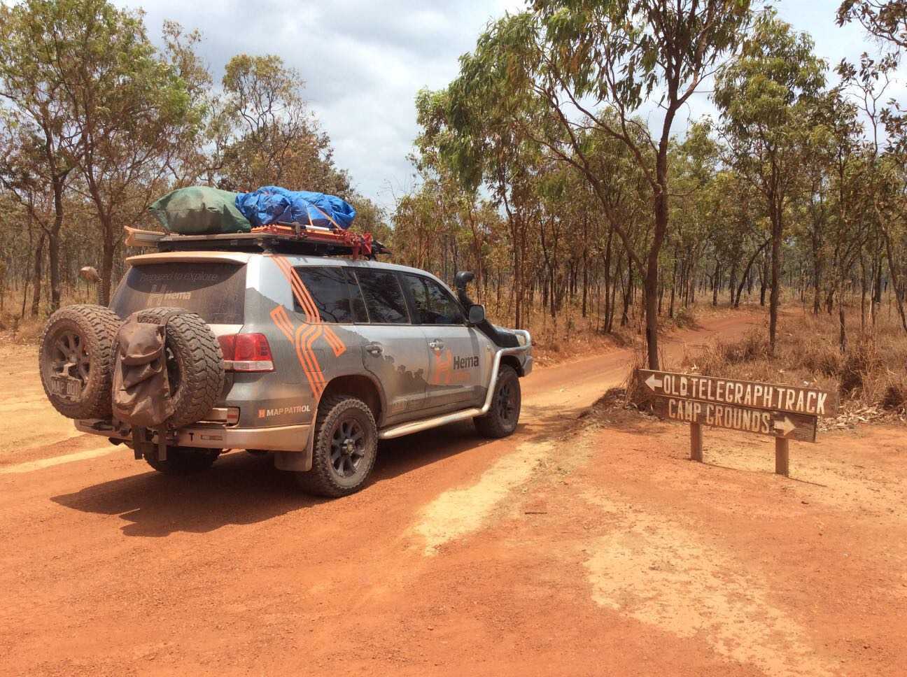
Hema - Old Telegraph Track South
94.2 kmFOR MORE INFORMATION ON THIS TRACK, PLEASE REFER TO OUR CAPE YORK ATLAS & GUIDE: http://bit.ly/capeguide
GRADING: This track requires low range, high ground clearance, traction aids and recovery gear, and contains deep creek crossings and slippery, steep river banks.
THE DRIVE: The southern section of the Old Telegraph Track can take one to two days, depending on your personal preference and the OTT's seasonal track conditions. The first major obstacle is Palm Creek, followed by Ducie Creek, Dulhunty River, Bertie Creek, Gunshot, Cockatoo Creek and Sailor Creek - leaving little wonder as to why it's one of Australia's most famed tracks. Palm Creek and Gunshot are the most challenging crossings, while the Dulhunty offers plenty of swimming opportunities before ending the track at Fruit Bat Falls.