


October 29, 2016
Buffalo trace route part two
119.6 kmThis is part two of the Buffalo Trace Loop. It takes over where part one left off. As you pass through the hills of Hoosier National Forest on to the flat lands of Indiana. You will come to White River where the Buffalo crossed. Then on after crossing the river once again into the hills before leveling out on your way to Vincennes.
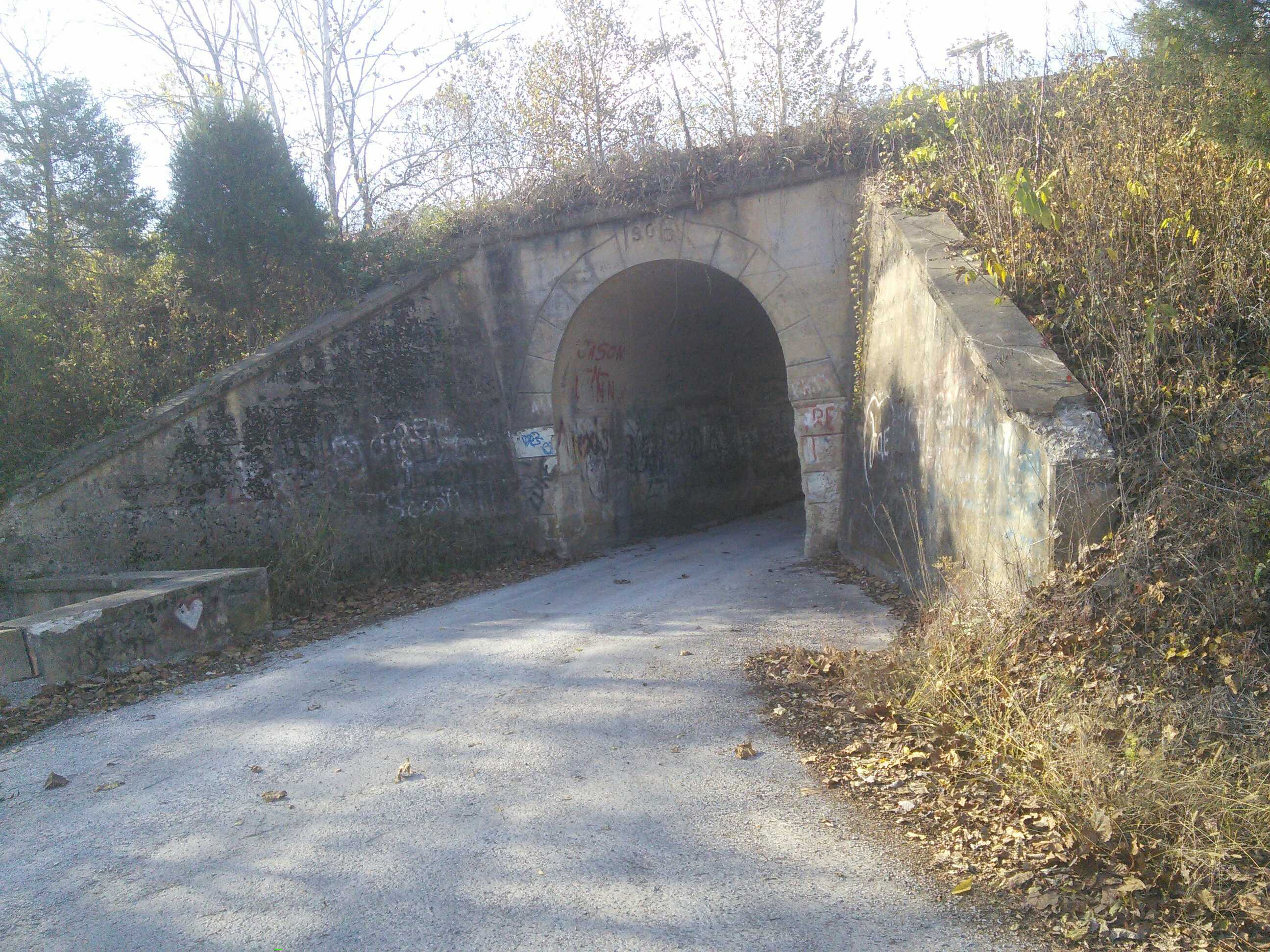
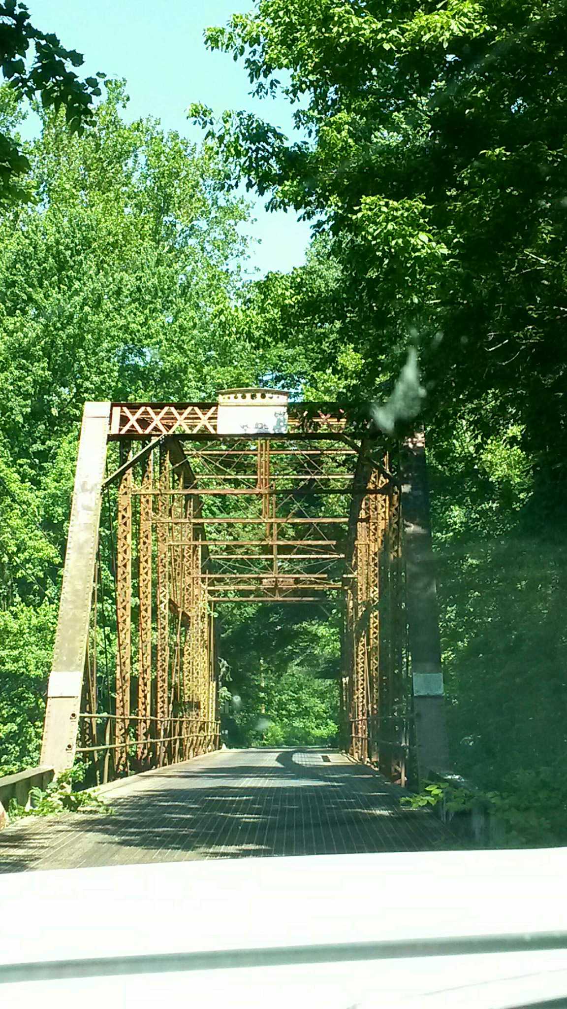
One line underpass for railroad 1906
October 13, 2016
Buffalo trace loop part one 10/13/16 9:47:03 AM
146.1 kmBuffalo Trace loop part one.
This is one of the many routes that the buffalo made as they crossed Indiana. Those routes was used by the settlers. This route was just one of the many that different paths that they would take. It starts at the falls on the Ohio. Then it goes through the rolling hills of Indiana. You will take many different type of roads as you pass through hoosier national forest. There are places that you can stop and walk trails to see the real trace. At the end of part one you can go north and visit French Lick or head south to Patoka Lake. Part to takes over from here and ends in Vincennes by the Bridge crossing the Wabash River.
Falls of the ohio
June 12, 2016
Ohio River on the Kentucky Side.
58.5 kmThis starts in Henderson kentucky river front and ends in Uniontown Kentucky. This route will mostly be gravel or sand roads. There are also some blacktop roads also. This is in the river bottoms so heavy rain or flood water can make this route hard to travel. Even when dry the road can be rutted and rough. Two wheel drives can do ok when dry.
Also along this route there are lots of places that you can fish and camp by the river bank. Most of the area is under kentucky DNR so check with them about other place away from the banks that you might be able to camp.
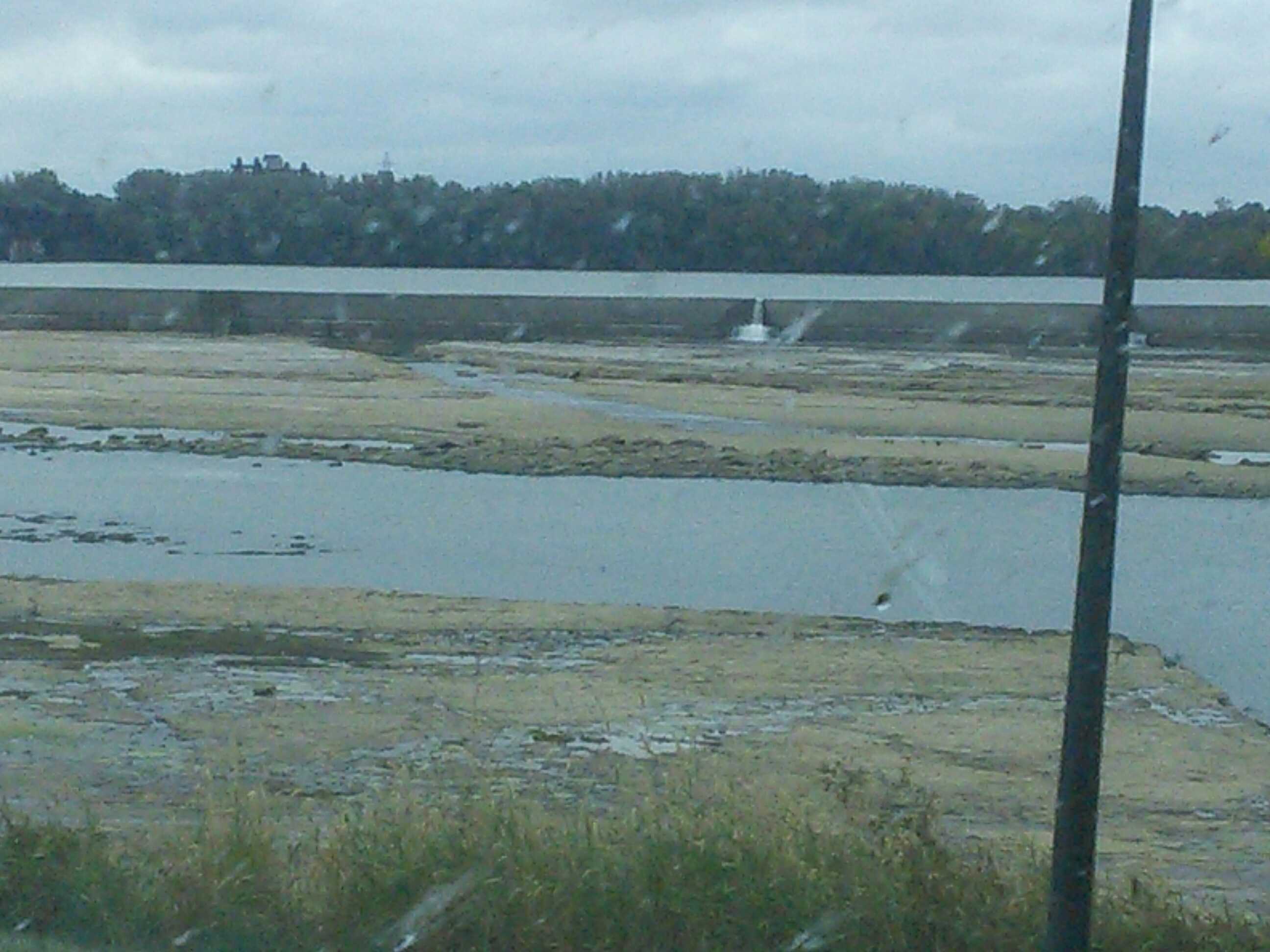
Overlooking some marsh areas
June 11, 2016
Part two of three covered bridges Southern Indiana
110.0 kmThis is part two of our trip seeing three covered bridges. Most roads are two line blacktop or gravel. Two wheel drive is all that is needed
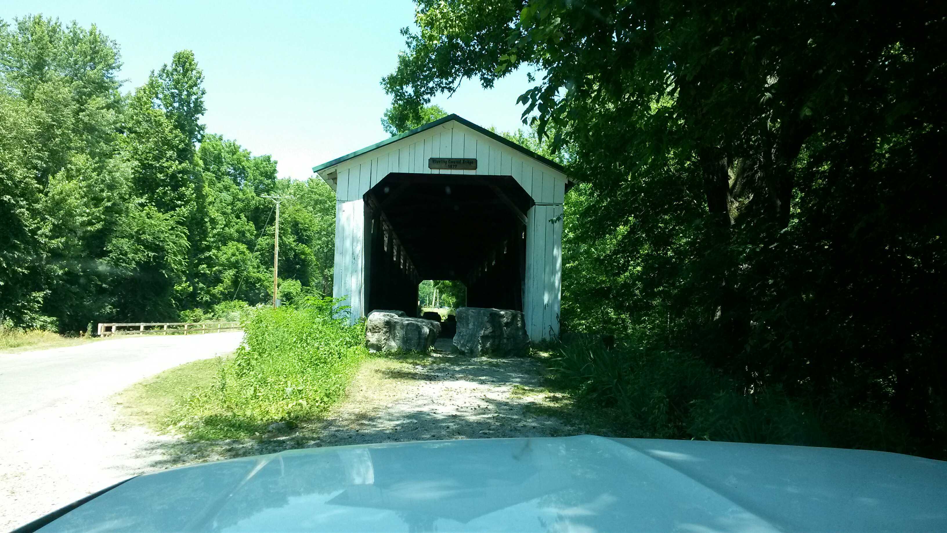
Wheeling Covered Bridhe
June 11, 2016
Part one of three covered bridges in Southern Indiana
94.5 kmThis is part one of our trip to see three covered bridges in southern indiana. Roads are a mix of gravel and blacktop. Two wheel drive is all that is needed. Watch for high water when rivers flood.
My Photo - 6/11/16 10:18:22 AM
June 17, 2016
Created:
June 11, 2016
Part two of three covered bridges Southern Indiana
110.0 kmThis is part two of our trip seeing three covered bridges. Most roads are two line blacktop or gravel. Two wheel drive is all that is needed