


August 17, 2016
Colquhoun Peak Trail access road
1.0 kmThe road to access the Colquhoun Peak Trail. 4WD or AWD recommended. It's not a steep road, but it's rutted out in some spots, and parts could be very muddy when wet. It's a short road, so if your car's not up to it, walking this road only adds a little over 1/2 mile to the hike.
August 17, 2016
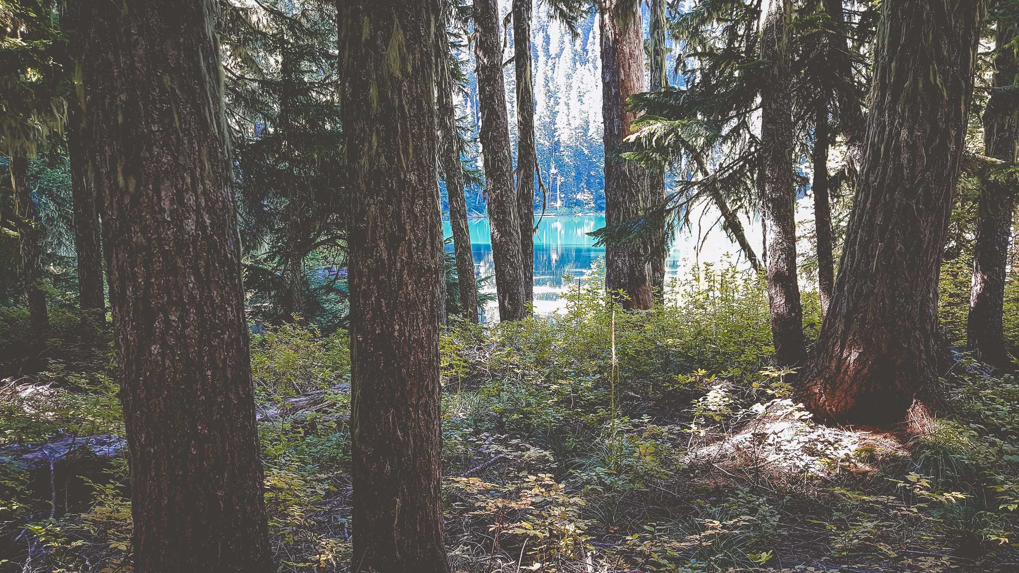
Colquhoun Peak Trail
1.2 kmA short hike to the top of Colquhoun Peak, once the site of a fire lookout. Great views of Mount Rainier near the top.
July 13, 2016
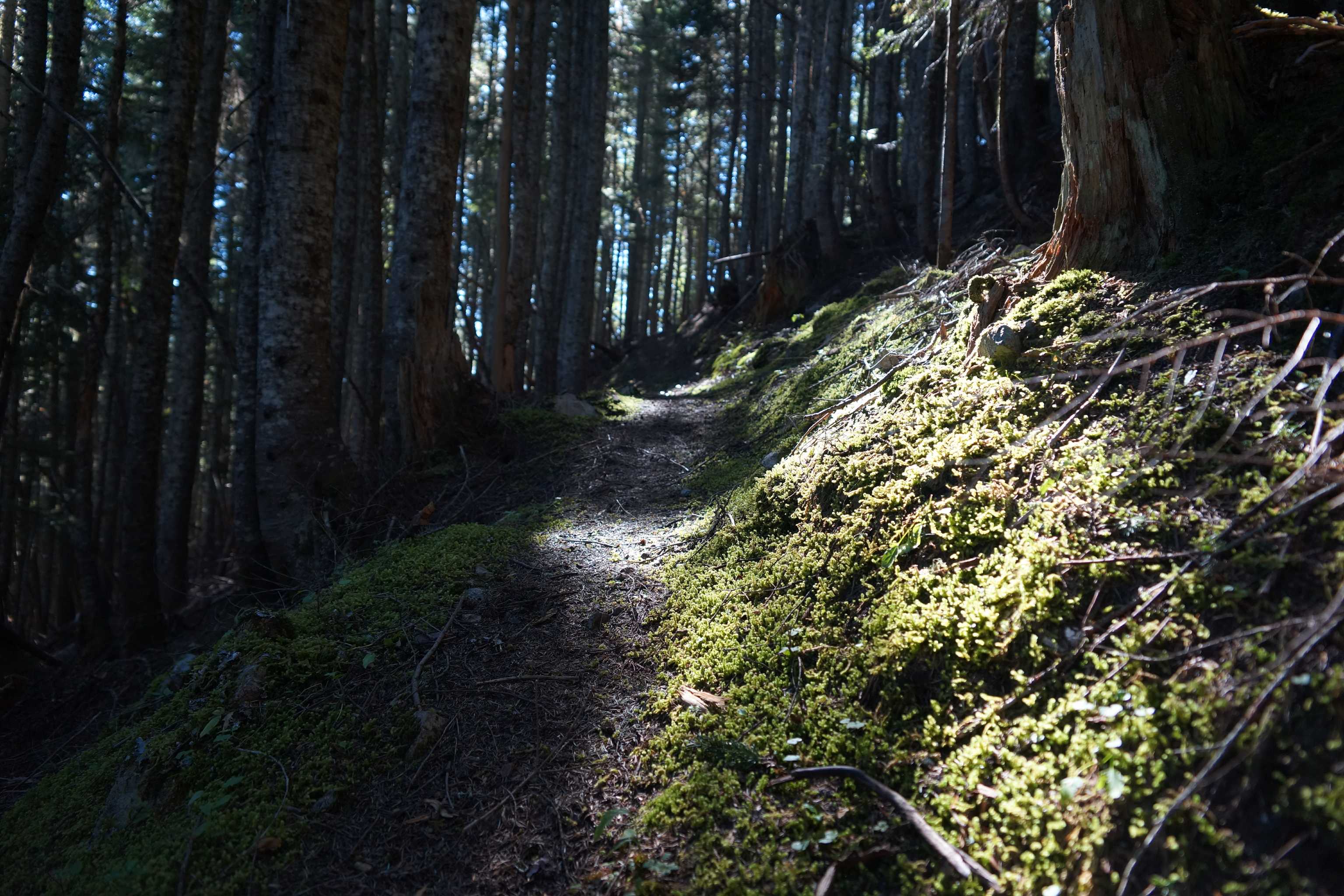
SR-410 to I-90 via FR 70 & FR 52
66.0 kmThe overland route between SR-410 and I-90, via Forest Roads 70 and 52. If you approach from I-90, you will see a couple of signs indicating that there is no through route. I drove this in October 2015 and July 2016, and there were no gates or other road blocks, and no sign of any impending closures.
70-52 (21 of 21).jpg
May 12, 2017
Created:
November 14, 2016
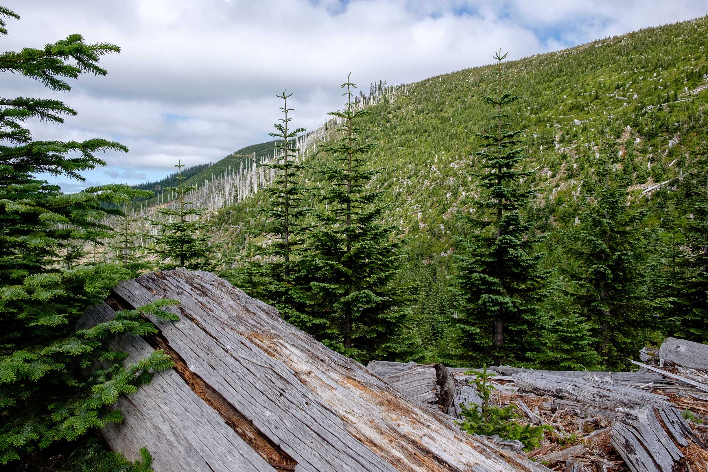
Naches Pass Trail
167.7 kmNaches Pass Trail from East to West starting and ending in Enumclaw. Fairly easy trail with a couple challenges to keep things interesting. We did the trail in late fall, while wet, which made things more challenging. This is a classic, must do for any overlander in the PNW.
*The tracks are pretty clean minus one turnaround about mile 75 where, because of the mud, we had to bypass a new section of trail.
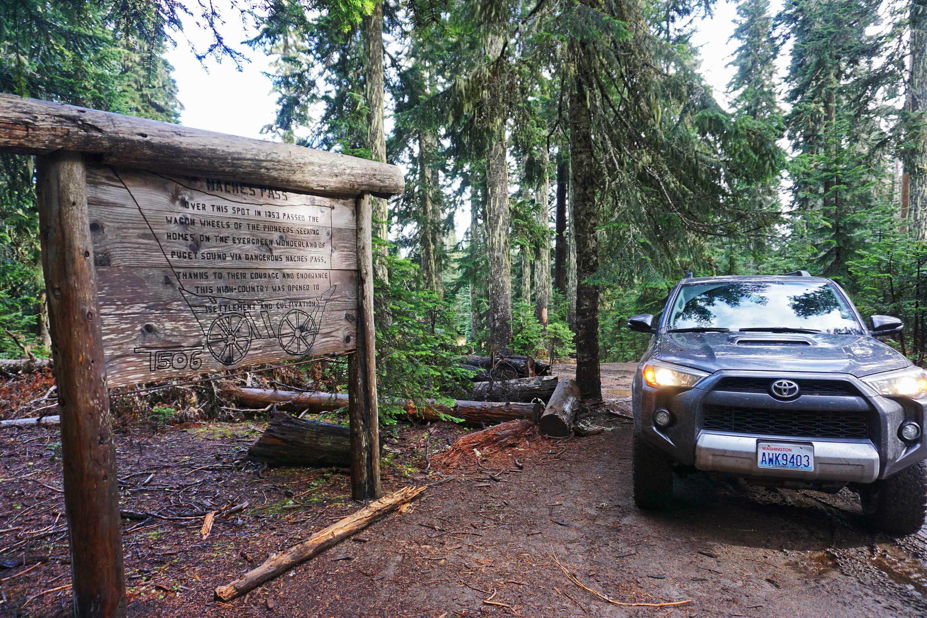
Top Naches 4Runner_Small.jpg
July 14, 2016
Created:
July 13, 2016
SR-410 to I-90 via FR 70 & FR 52
66.0 kmThe overland route between SR-410 and I-90, via Forest Roads 70 and 52. If you approach from I-90, you will see a couple of signs indicating that there is no through route. I drove this in October 2015 and July 2016, and there were no gates or other road blocks, and no sign of any impending closures.
70-52 (21 of 21).jpg
June 29, 2016
Created:
June 21, 2016
Scouting Trip (June 22, 2016)
61.0 kmWe encountered many un passable washes (and I am in a very capable Jeep) and lots of overgrown brush. If you value your paint, I would stay away from this area this time of the year.